
Nature’s Remodeling: Topanga Canyon’s Landscape Altered by Mudslides
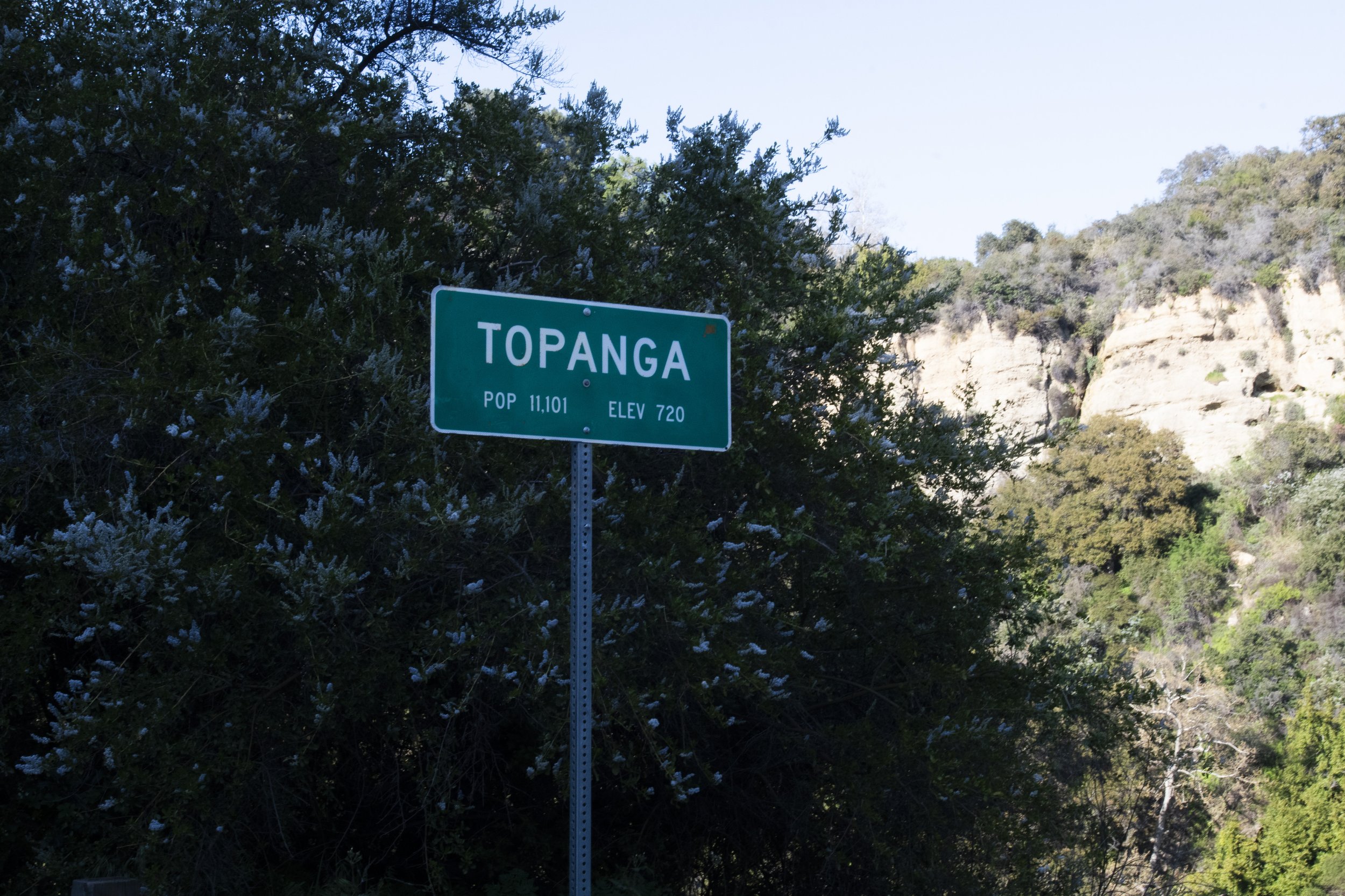

Los Angeles has experienced more than twice more rain in February this year than last year, according to National Weather Service data. The rainstorms have caused multiple mudslides in Topanga Canyon, resulting in a road closure through the main highway and onto Pacific Coast Highway (PCH).
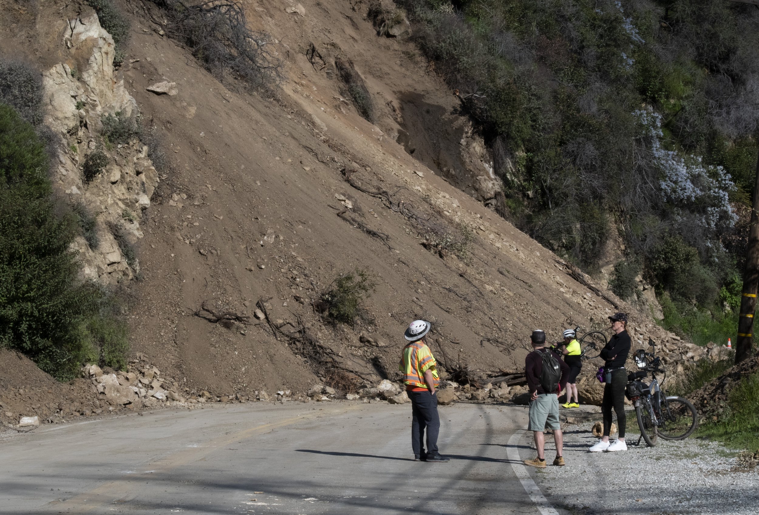
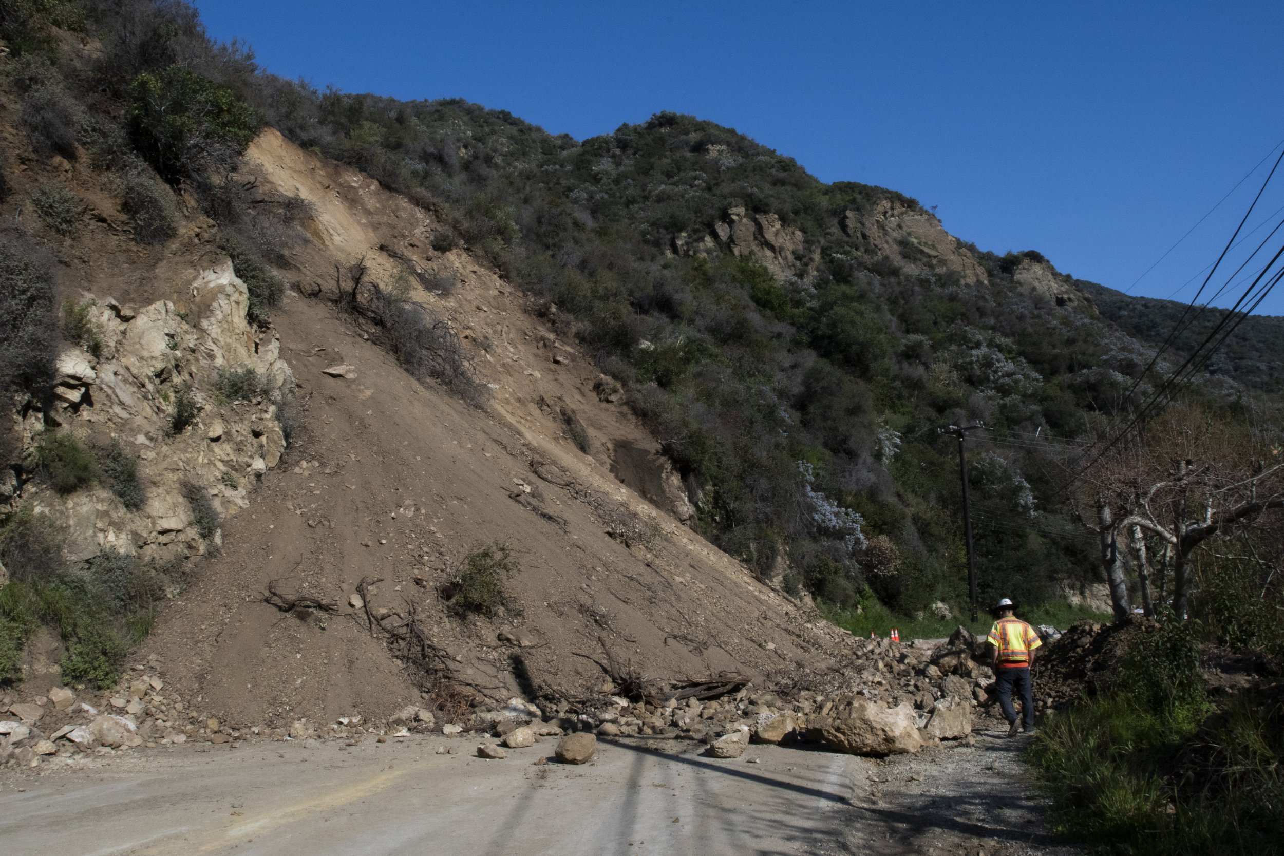
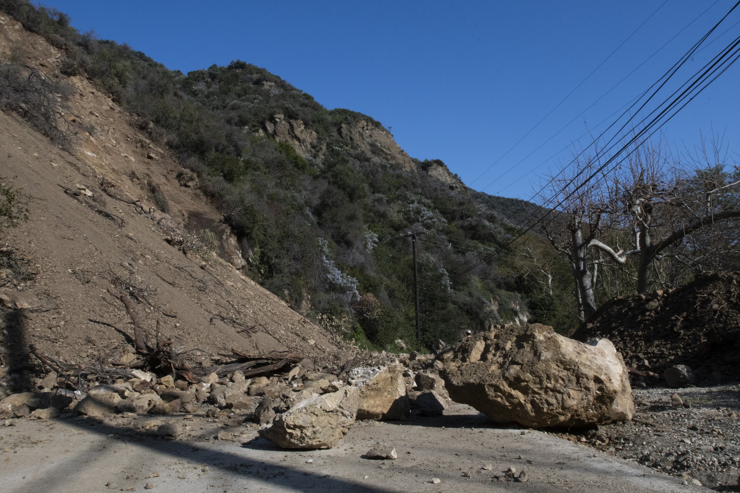
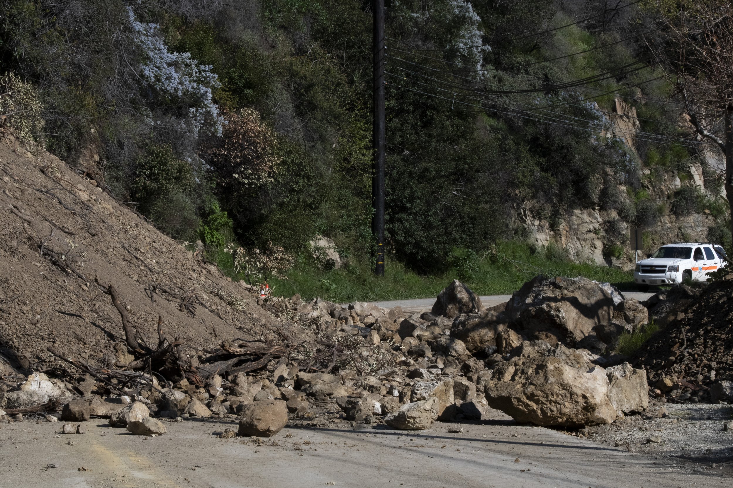
Topanga Canyon Boulevard, also known as State Route 27, has had multiple mudslides and large boulders that have fallen on the main road that goes into and out of the canyon through S Topanga Canyon Boulevard between Grand View Drive and PCH starting on March 9. The mudslides are still active, and the road remains closed today.
The Topanga Coalition for Emergency Preparedness stated, “the landslides at mile marker 1.8 is still unstable and active and until that activity stops, the California Department of Transportation (Caltrans) are unable to place their survey crews on the site to determine the best course of action to stabilize the hillside or even predict when the road might open. Every time the hillside has activity, it requires a re-assessment and resets the process.”
Santa Monica College students who live in Topanga Canyon are not able to take State Route 27 down to PCH to easily get to campus. They must drive up to Woodland Hills and either take the 405 freeway, a detour further down to Malibu through Malibu Canyon Road, or take an even more scenic route to PCH through Tuna Canyon Road. While the 405 is usually congested, the results of these detours have increased the time it takes students to get to school with bumper to bumper traffic the majority of the drive. Normally a 50 minute drive has turned into an hour and a half.
There is no estimated date for when the debris will stop falling and the Caltrans will be able to successfully clear the mudslides, making it safe to travel on the road again. Updates can be found on the Caltrans District 7 X page, formerly known as Twitter.


